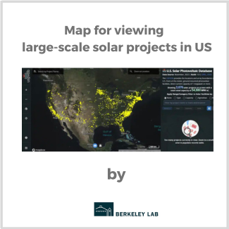
The U.S. Geological Survey and the DOE’s Lawrence Berkeley National Laboratory have released a single, interactive map that tracks all large-scale solar energy facilities in the country. Called the USPVDB Viewer, the map is based on the U.S. Large-Scale Solar Photovoltaic Database.